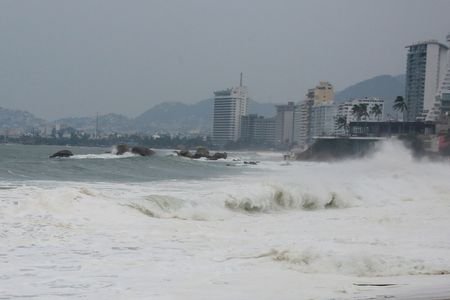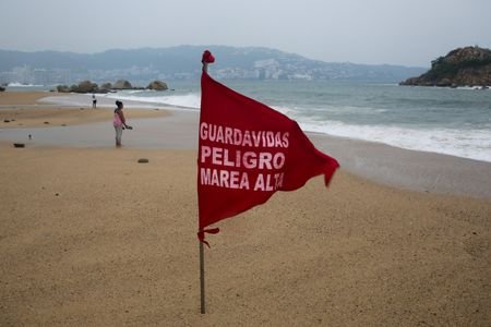
Sept 24 (Reuters) - Heavy surf and rain lashed southwestern Mexico as "extremely powerful" Hurricane Polo crawls northwest offshore the mainland, the US National Hurricane Center (NHC) said in a bulletin on Thursday.
With maximum sustained winds near 160 miles per hour (260 kph), Polo is a Category 5 storm, the highest level on the Saffir-Simpson scale. It could see some near-term strengthening and is expected to remain a major hurricane for the next few days, said the NHC.
The NHC said that Polo's outer rainbands are spreading onshore and producing heavy rains. Tropical-storm-force winds are likely occurring along the coast of southwestern Mexico, it said.
Polo's hurricane-force winds extend outward up to 40 miles (65 km) from the center and tropical-storm-force winds extend outward up to 125 miles (205 km).
Rainfall totals of 4 inches to 6 inches (102 mm to 152 mm), with isolated maximum totals up to 8 inches, are expected across coastal areas of Mexico's Guerrero state on the Pacific coast through Thursday, possibly triggering life-threatening flooding and mudslides.
Coastal areas of the Mexican states of Michoacan, Colima and Jalisco are also forecast to experience heavy rains, while swells generated by Polo will affect portions of the coast of southwestern Mexico during the next couple of days.
"These swells are likely to cause life-threatening surf, rip currents, and coastal flooding," said the NHC.
Polo is expected to remain offshore of southwestern Mexico on Thursday before moving further out to sea and is expected to approach the Baja California Peninsula early next week as a hurricane.
(Reporting by Paolo Laudani; Editing by Anthony Esposito and Emelia Sithole-Matarise)